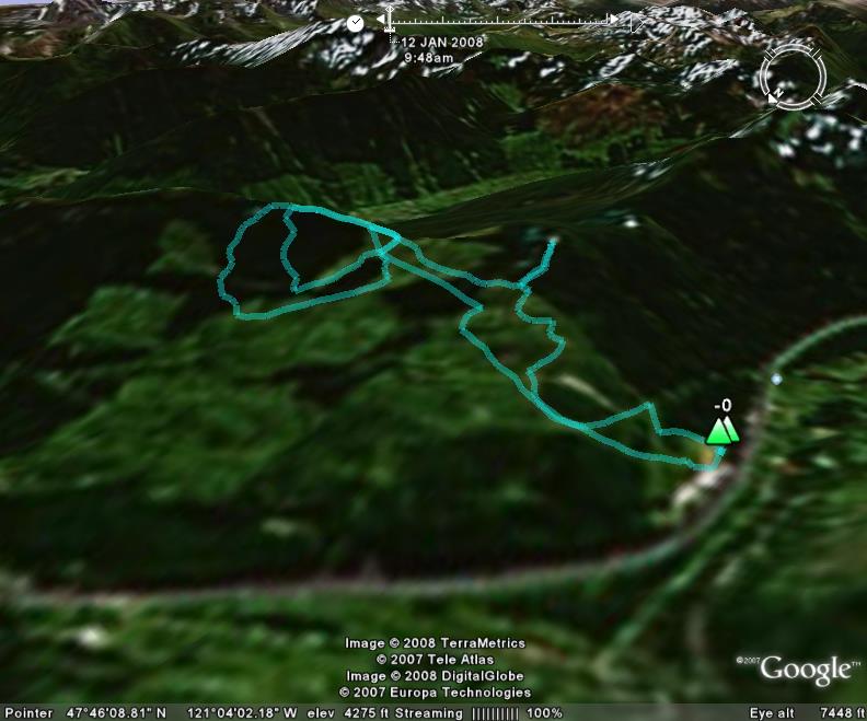
January 12, 2008, Yodelin, Route Map
1/12/08
WA Stevens Pass
2773
0
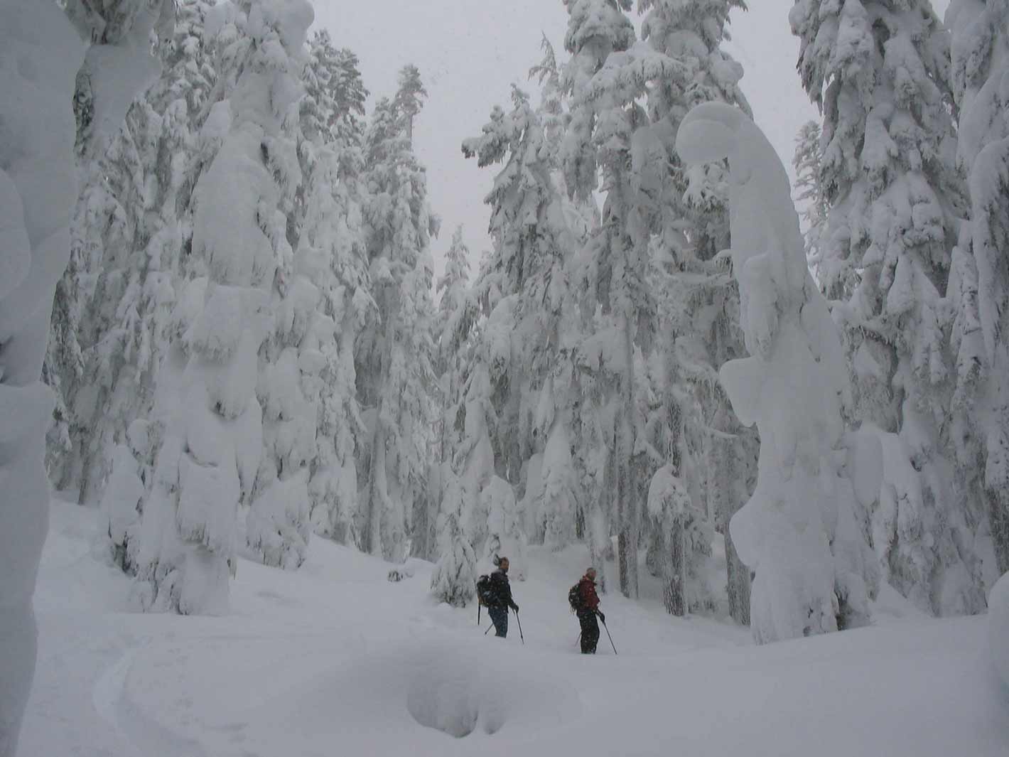
Since the avy report was still calling for high avy danger above 4-5,000 ft. Ambrose, Elliot and I headed off to do some Yodelin. We left from the upper parking lot around 9:45. Fortunately there were already some skin tracks that we could follow. We followed the tracksup to a bench where we typically head left through the trees, but since the tracks headed right we decided to follow them. After about 20 minutes of heading up through the trees and about a mile into the route from the parking lot, we came to a clearing and decided we were heading too far south, so we head back down to the route we knew.
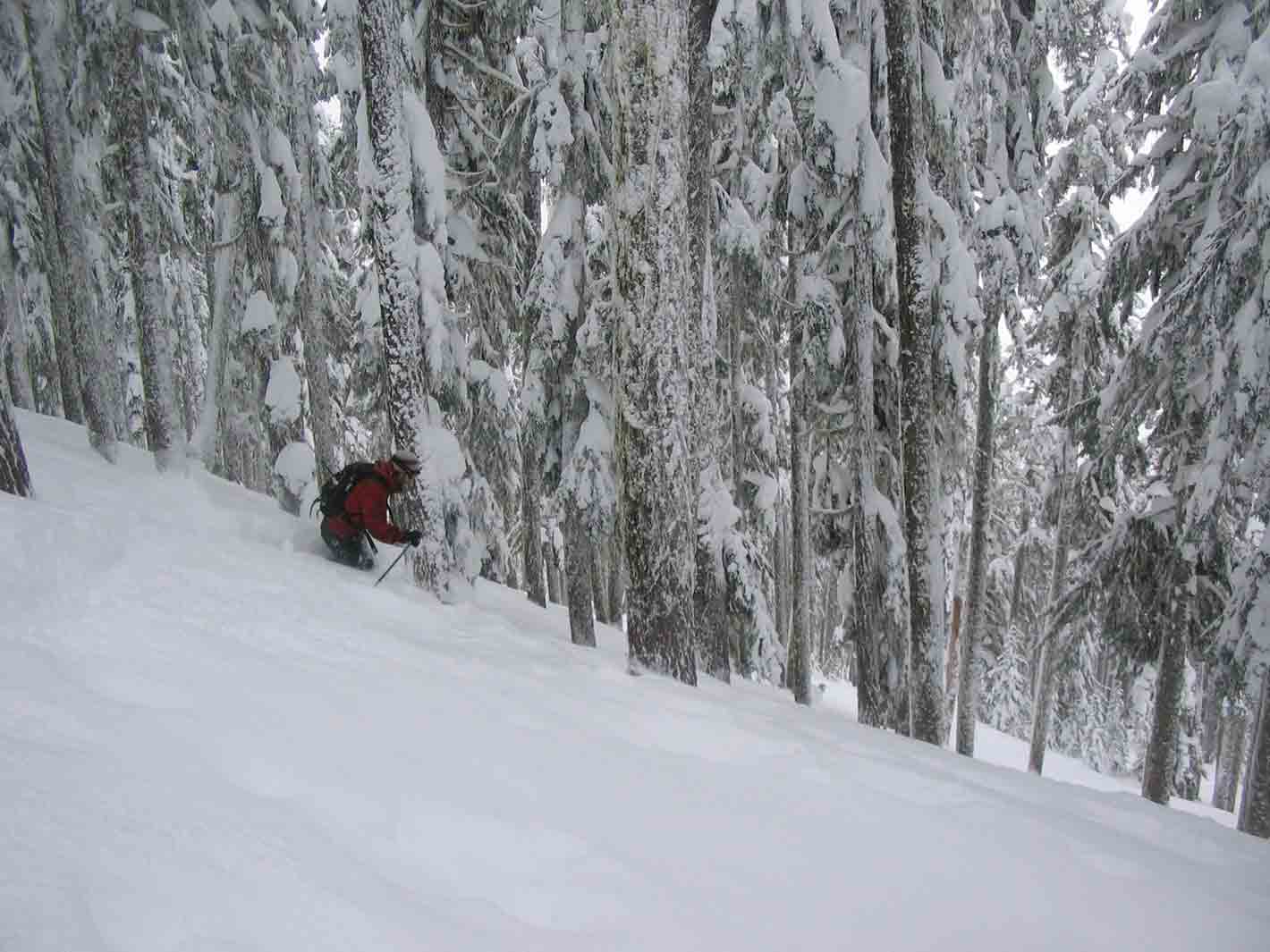
Once back down to the bench we headed east for about another mile and found the open glades . We saw one skier coming down and a group of five coming up from the bottom. So, we hiked up the ridgeline and through the trees and dropped 700 feet through the second growth to the first forest road crossing. We hiked back up and enjoyed a quick 200 foot run down the open glades and went back for another tree run for about 900 feet down to the second road crossing. The snow in the open areas was a Little lighter than in the trees, but it is hard to be the wide open tree skiing. There were a lot of tree bombs, but for the most part it was smooth and cushy through the trees.
After the third run, I decided to head back to beat the traffic, as Ambros and Elliot were staying at a cabin and didn't have to make the 2 hour ride back to Seattle like I did. The trip out was supposed to be pretty straight forward. Just follow our original skin tracks back to the first bench and board down from there. Well, ta ht would have been great had I followed our original skin tracks. About 15 minutes after I left the other guys, our supposedly original tracks disappeared, so I pulled out my gps and realized that I was about 400 feet below our original tracks. I tried boarding across but the snow was just too heavy to traverse and the smaller trees were getting pretty thick. The dense trees made me cautious since I was returning by myself and no one would know if I fell into a tree well. I even got a bit nervous when I stepped between two trees and sank about 4 feet down. After about an hour long slog on my approach skis I made it back to the where I wanted to be originally and I boarded the last half mile down to the parking lot. After about 5.5 hrs and 3,000 feet of up and down through the Cascade cement, I was glad to see the car, and that was the best tasting slice of cold pizza I have had in a long time.
All in all it was a great day for my first day in the BC this year (read new baby at home). But, if I had to do it again, I would make sure I did not have to leave the group early and head out on my own, even though I though I was in familiar territory, it only took 400 feet of vert to get way of track.
Reply to this TR
Please login first: