March 21-24, 2007, McAlester Pass--Sawtooth/Chelan
3/21/07
WA Cascades East Slopes North
2669
4
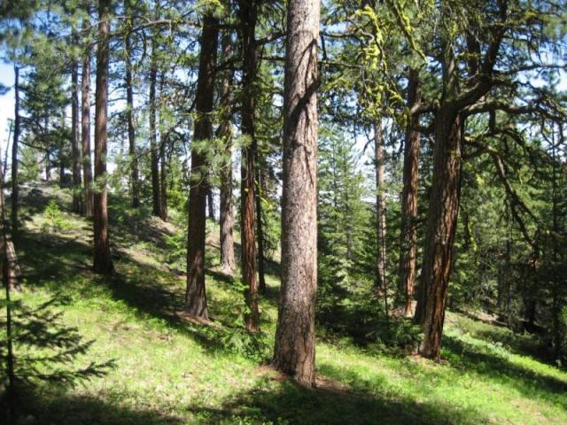
Began touring from the Twisp Valley at the South Creek trailhead (snowmobile assist up the road), camped the first night under partly clear skies just short of South Pass. By late the next morning standing atop South Pass with partly clear conditions. Snow was very stable with a few inches of fresh. 2nd camp at McAlester Pass (6000 ft.) by early afternoon--the rest of the day did multiple runs on the moderate terrain north of the pass--the few inches of new augmented by constant snowfall beginning about 2pm, making relatively moist but very consistent skiing. The next morning (Friday) toured to "Hidden Meadow", a large basin west of McAlester. The snow had stopped; we skied the 4 inches of fresh on a firm base--very smooth with varied terrain. There is great potential here for runs on various aspects. By noon we packed camp and began descending Rainbow Creek under thickening skies and warming temps. At about 5000 ft. the moderate snowfall had turned to "white" rain, and a little later the real thing. Our 3rd camp was under the shelter of two large Douglas-fir 4-5 miles from the Stehekin Valley. Morning rain sped our descent to Stehekin and the boat ride to Chelan. I do not recommend the ski descent down Rainbow Creek--nasty, steep slopes with avalanche debris--a contrast to the easy ascent up South Creek from the Twisp Valley. I suggest skiing back that way and enjoying all the fine terrain in the McAlester Pass area.
Chester,
Just wanted to thank you for your book. For all you TAY'ers, go get it. Having lived and worked in the East Cascades for 18 yrs. now, it sure struck a chord.
I especially loved the Cow Creek Mdws. and Star Peak environs ski traverse explorations. Inspiring. Would like to get up there myself.
Been brainstorming a trip over the Bull's Tooth region from Stevens and, perhaps too ambitiously, an exit by traversing the East slopes of the Chiwaukums to Coulter Creek. One concern I see on the maps is the East Ridge of Snograss: getting out of the S. Fk. Chiwaukum drainage into the head of Glacier Creek. Probably no big deal in summer but does it go on skis without having to lose and gain too much elevation? Anyway, probably a pipe dream, but thanks again for the great read. Margy Taylor turned me on to it.
How's the melt out up the Sawtooth region? Does the area hold snow up high late enough to be able to wait for the roads to melt out for a non motorized approach? I'd especially like your insights on the Foggy Dew approach for this Spring if you have an idea what it might look like. Looks like the road climbs on a south facing slope for early melt out potential. There is always the option of a few extra miles of road ski approach, I guess.
Thanks again,
John
I would like to hear more about the book. Subject, title, author?
author=ovrthhills link=topic=6590.msg26999#msg26999 date=1175016982]
I would like to hear more about the book. Subject, title, author?
Ovrthhills,
I thought Chester might respond, but to get the info. to you: he is the author, title is "East Of The Divide", and it is a great narrative of his trips on skis and foot in the East Cascades, mixed in with well researched accounts of historical explorations on foot, pack stock, and skis. They were some strong, determined souls back in the day. And Chester's trips are equally impressive. But equally important is the sense of place and reverance for the flora, fauna, and ecology of wild country that is conveyed as much as the trips. I read it last winter in short order and I can sit on a partially finished book for a long time. It will make you want to sit beneath a ponderosa pine, smell some sun warmed needles, take in the country, observe what/whoever comes your way, and reflect on the state of things. Ah, maybe a bit dramatic. But I am ready to do some of that for sure.
John
author=John_Morrow link=topic=6590.msg26996#msg26996 date=1175003537]
Chester,
Just wanted to thank you for your book. For all you TAY'ers, go get it. Having lived and worked in the East Cascades for 18 yrs. now, it sure struck a chord.
I especially loved the Cow Creek Mdws. and Star Peak environs ski traverse explorations. Inspiring. Would like to get up there myself.
Been brainstorming a trip over the Bull's Tooth region from Stevens and, perhaps too ambitiously, an exit by traversing the East slopes of the Chiwaukums to Coulter Creek. One concern I see on the maps is the East Ridge of Snograss: getting out of the S. Fk. Chiwaukum drainage into the head of Glacier Creek. Probably no big deal in summer but does it go on skis without having to lose and gain too much elevation? Anyway, probably a pipe dream, but thanks again for the great read. Margy Taylor turned me on to it.
How's the melt out up the Sawtooth region? Does the area hold snow up high late enough to be able to wait for the roads to melt out for a non motorized approach? I'd especially like your insights on the Foggy Dew approach for this Spring if you have an idea what it might look like. Looks like the road climbs on a south facing slope for early melt out potential. There is always the option of a few extra miles of road ski approach, I guess.
Thanks again,
John
Hello John--thanks for your comments about "East of the Divide" I believe you are right about Foggy Dew being the first road to melt-out, but I do not know how it is progressing, and am leaving tomorrow for an Arizona trip, so will be of no help. The War Creek and Eagle Creek trailheads can also be good, even though they do not melt out early. Their plus is that the skiing mileage along the flat part of the Twisp road is not too far, so snowmobile support is not as important.
Your thoughts on the Chiwaukum Mtns. are intriguing. Access from Stevens Pass to the Frosty Pass area is very feasible, but dropping over the divide into either Glacier Creek, the South Fork of Chiwaukum Creek, or the Larch Lake area would offer challenges. I stood at Deadhorse Pass (above Larch Lk.) last fall; it looked poor as a ski descent. The traverse from Frosty Pass to Ladies Pass and into the South Fork is good except for the very steep traversing to reach Ladies Pass. With a very stable snowpack it would be a good route.
Chester
Reply to this TR
Please login first: