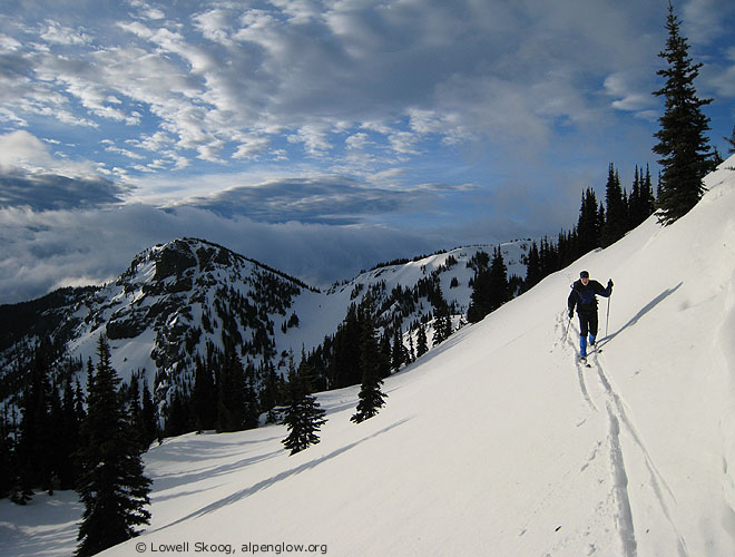
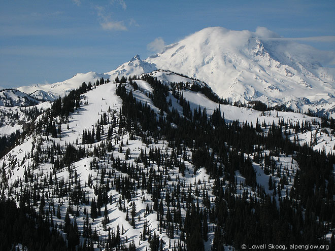
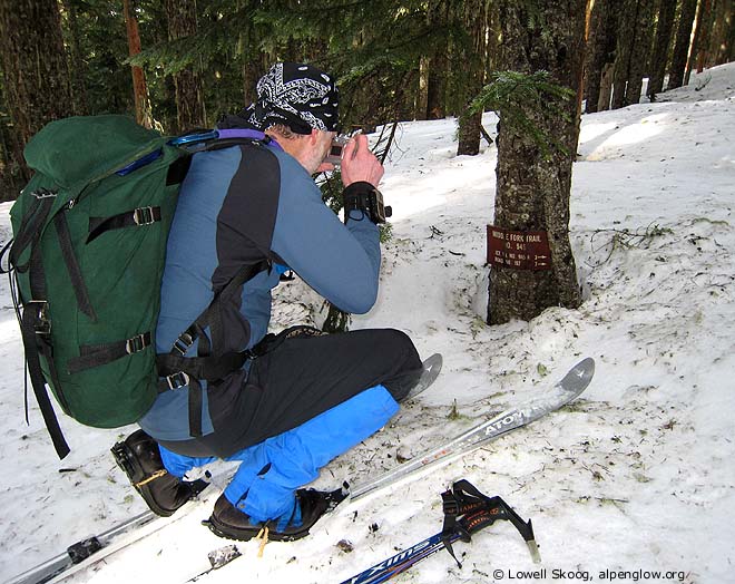
March 16, 2007, Crystal Mtn to Naches Pass traverse
3/16/07
WA Cascades West Slopes South (Mt Rainier)
2825
2
Awesome trip guys!
To get to 1 1/2 miles from the car with snow is really quiet good.
Did you encounter much cliff action in the forested area to detour the planned trail?
Did you keep the GPS on the entire trip? If so what were the trip totals?
Often times the accuracy of my GPS is somewhat plus or minus 50 feet especially in dense trees where the signal gets limited.
Congratulations on your accomplishment.
Joe
Hi Joe,
The key to skiing low on the Pyramid Creek road system is to take FS-7065, which forks left off FS-70 about 1.5 miles above the sno-park and then rejoins it about 2.5 miles higher. The USGS 7.5 minute topo doesn't show this road connecting, but it does. It is the most popular route for snowmobilers, because it is north facing and holds snow longer. FS-70 ascends a SW facing slope above the Greenwater river between 3200-3400 feet. This section gets a lot of sun and melts out sooner.
We didn't have any cliff-out problems. We basically followed the Crest Trail route but much of the time we couldn't detect it. We only hit one section of unpleasantly tight trees, about 1-1/2 miles NE of Martinson Gap. I don't know where the trail went in that section.
I turned on my GPS at Scout Pass. Paul ran his the whole time. I haven't learned how to get totals from the GPS, but TOPO! says 21.4 miles (I correct this by a factor of 1.13, to 24 miles), with 3900 feet of climbing.
Reply to this TR
Please login first: