May 6, 2013, Mt. Ashland
5/6/13
2221
3
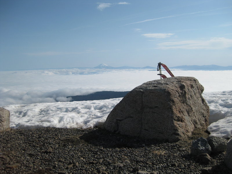
Looking for a quick morning ski or hike before deciding whether to drive to Shasta or head east, I decided to check out Mt. Ashland, which I'd never been to. The heavy cloud deck in the valley was not encouraging, but driving up the Mt. Ashland road, I broke out above a sea of clouds, with great views of the Siskiyous, Mt. McLoughlin, and Mt. Shasta all around.
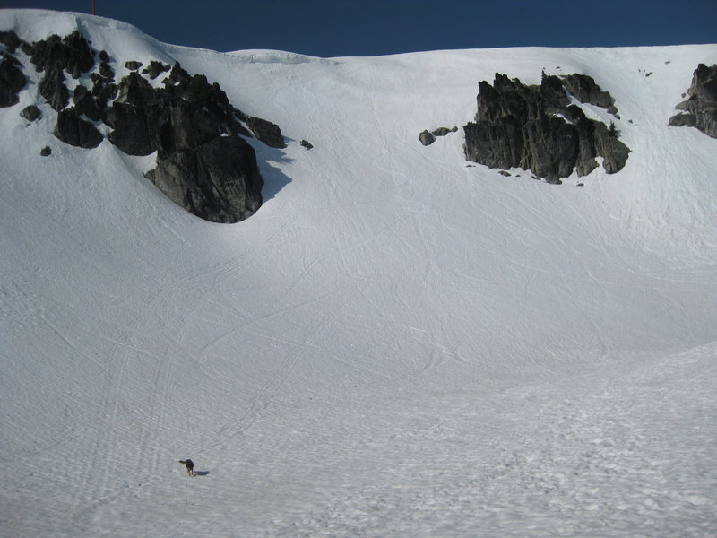
I walked on dirt for about a hundred feet from the parking lot and then skinned up from there the short distance to the summit. The runs are not long at this community owned ski area (1,000 ft?) but there is some nice steeply pitched terrain, particularly in the cirque near the top.
After hearing the weather report, I reluctantly gave up plans for Shasta and headed further east into California to continue the road trip elsewhere.
Mt Ashland is my local hill-- short, but steep. Outside the ski area, there is some good terrain if you head west along the Siskiyou Crest FS 20 toward the Applegate Valley. FS 20 goes about 20 miles at around 7,000 feet. I'm sure it's melted now, but I always thought it ideal for a midwinter pulk tour-- relatively flat road with places to drop in the whole way.
Thanks for the report on Mt. A, my first time on a "real" pair of skies was there (can it really be 41years ago!?). Glad to see someone getting a few turns in the bowl. About this time of year, we would hike all the lift lines, looking for the magic money clip with 5 $100 dollar bills in it! The reality was maybe a few quarters and dimes!
It looks like a cool little ski area - must be fun on a powder day! I like how their sign in the parking lot mentions sidecountry access for backcountry skiers without a bunch of disclaimers - seems like there is a sense of adventure there.
Reply to this TR
Please login first: