April 24, 2013, Mount Jimmy Jimmy
4/24/13
1721
0
Map of route: http://www.mappingsupport.com/p/gmap4.php?q=http://www3.telus.net/stoked/trackJimmyJimmy2013.gpx&t=t1&z=12&label=off&ll=49.917,-123.456
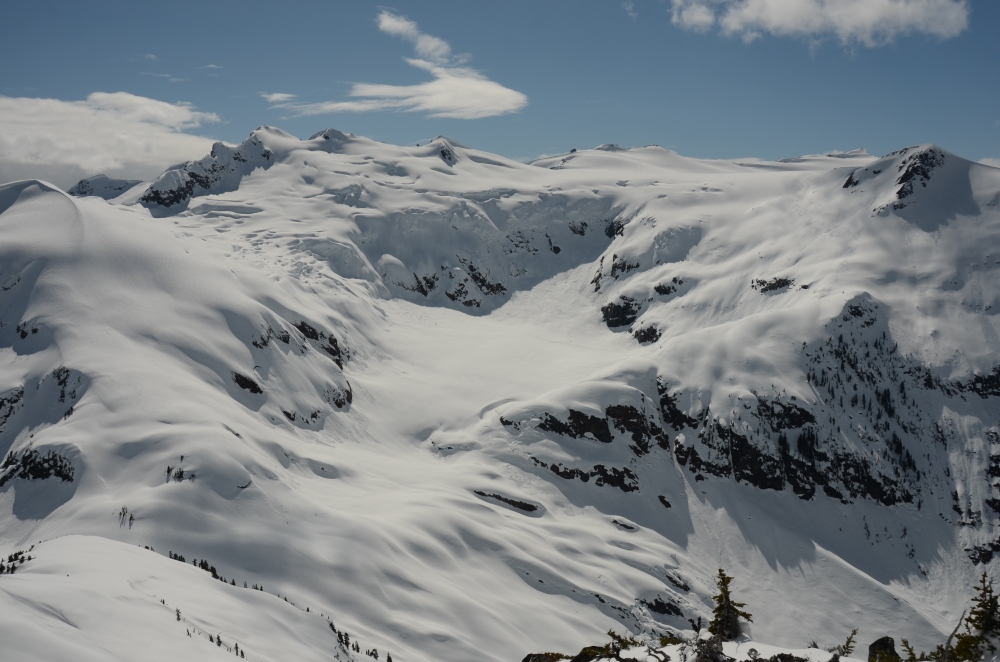
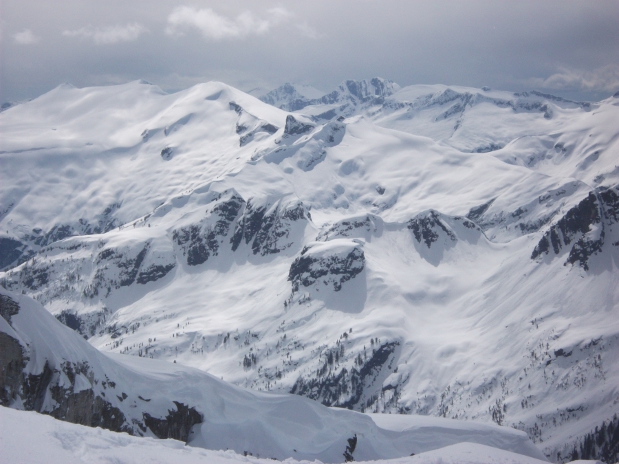
The headwaters of Coin Creek with Jimmy Jimmy in the distance. (Photo by Peter M from the summit of Pokosha Peak)
This was probably my eighth ascent of Jimmy Jimmy, always on skis. For Max, a recent arrival from Kyrgzstan, it was his first ascent. January 30, 2011, we had actually been able to drive to pretty much the same spot after the snowmobile track up Ashlu Creek was soaked by a Pineapple Express rain event and subsequently froze hard. So the road access is very good at times due to the presence of the IPP project on the Ashlu and the BC Mountaineering Club has done phenomenal work clearing the Pokosha Creek road for two kilometers.
We parked just beyond the intake for the IPP project. It put us within two km of the Pokosha Creek turnoff. Unfortunately, the unique circumstances of the previous December contributed to an impressive amount of downed trees across the road. These circumstances I attribute to heavy snow throughout December with little wind. It allowed an enormous snow load to accummulate on trees. All around the south coast and the North Cascades there was heavy damage to trees in the band between 600 and 900 metres elevation. While annoying, it was not sufficiently bad to turn us away.
The continuous snow line did not start until about 1.2 km up Pokosha Creek road. Again, fractionally annoying but travel up the cleared road was quick carrying skis. The blowdown was actually less intense than the main road.
From the avalanche path off Pokosha Peak at road end, we ascended steeply up the forest on the other side. Steep climbing brought us to the lake from where we headed up to the saddle with Coin Creek beyond the lake.
A brief loss of elevation of no more than 50 metres is necessary in order to wrap around the headwaters of Coin Creek. It is completely unavoidable. On the other side is a wonderful ramp that ascends to around 1800 metres before it steepens into a steepish snow slope below the Jimmy Jimmy Glacier. The last 200 metres was a bit of a grunt to gain the glacier. Once attained, a persistent cold wind was blowing at us across the glacier. We could spy the summit of Jimmy Jimmy still about two km away and only about 200 metres higher. Off we went and before too long our party was on the summit.
It was a bit too cold in the wind to sit around for long before we were off for the next great adventure, about a 1500 metre ski descent back the way we came. Conditions did not disappoint. The snowpack was largely firm and supportive with a bit of powder or creamy slush on top.
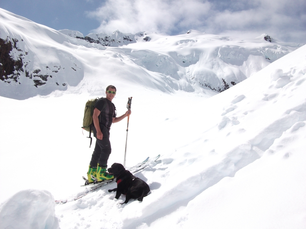
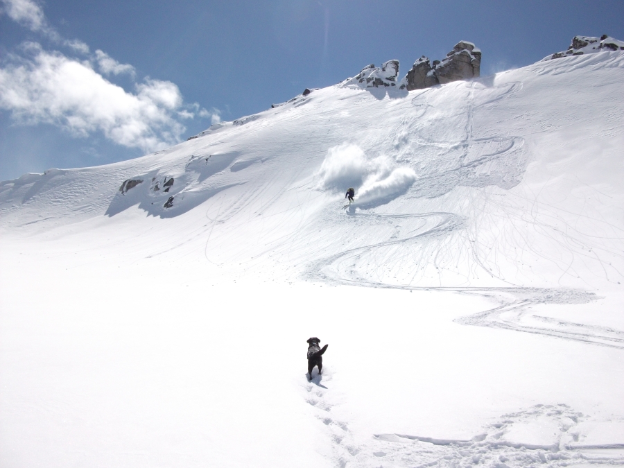
Max and Karma the dog on the ramp.
Sigurd Peak.
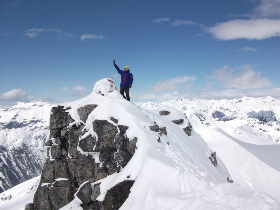
Max on the summit.
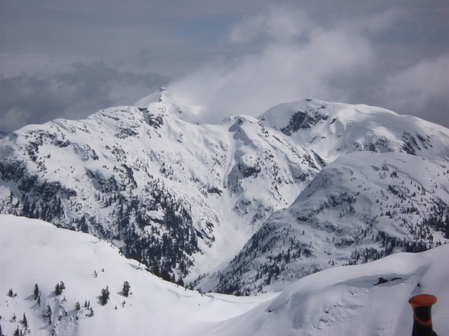
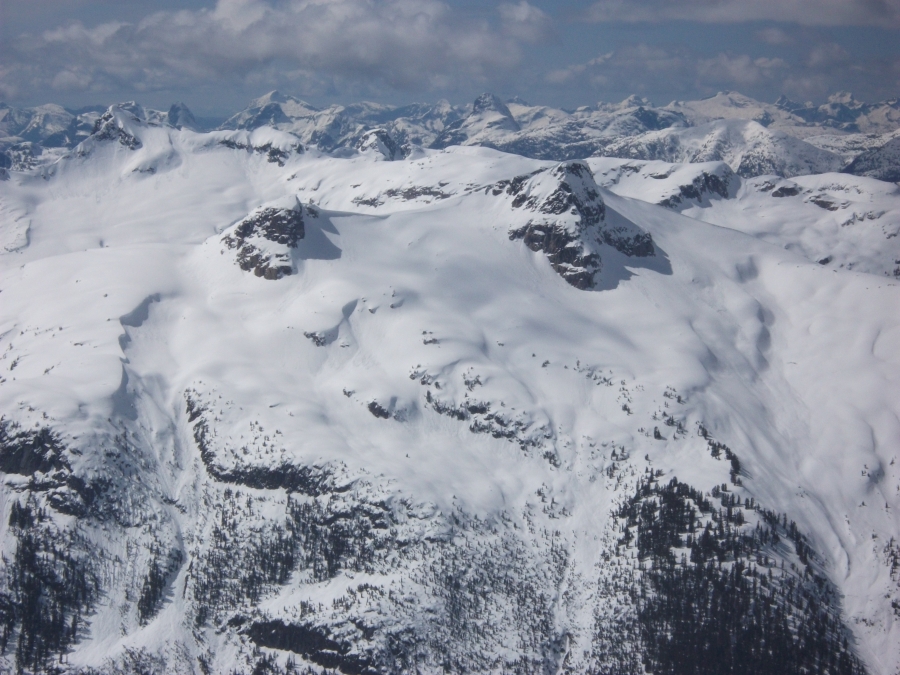
Looking southwest from the summit to Phantom and Misery areas.
Chimai in the foreground.
Summit area.
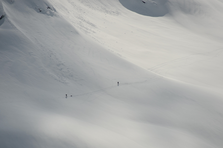
Skiers returning to the pass. (Photo by Peter M from the summit of Pokosha Peak)
The headwaters of Coin Creek with Jimmy Jimmy in the distance. (Photo by Peter M from the summit of Pokosha Peak)
This was probably my eighth ascent of Jimmy Jimmy, always on skis. For Max, a recent arrival from Kyrgzstan, it was his first ascent. January 30, 2011, we had actually been able to drive to pretty much the same spot after the snowmobile track up Ashlu Creek was soaked by a Pineapple Express rain event and subsequently froze hard. So the road access is very good at times due to the presence of the IPP project on the Ashlu and the BC Mountaineering Club has done phenomenal work clearing the Pokosha Creek road for two kilometers.
We parked just beyond the intake for the IPP project. It put us within two km of the Pokosha Creek turnoff. Unfortunately, the unique circumstances of the previous December contributed to an impressive amount of downed trees across the road. These circumstances I attribute to heavy snow throughout December with little wind. It allowed an enormous snow load to accummulate on trees. All around the south coast and the North Cascades there was heavy damage to trees in the band between 600 and 900 metres elevation. While annoying, it was not sufficiently bad to turn us away.
The continuous snow line did not start until about 1.2 km up Pokosha Creek road. Again, fractionally annoying but travel up the cleared road was quick carrying skis. The blowdown was actually less intense than the main road.
From the avalanche path off Pokosha Peak at road end, we ascended steeply up the forest on the other side. Steep climbing brought us to the lake from where we headed up to the saddle with Coin Creek beyond the lake.
A brief loss of elevation of no more than 50 metres is necessary in order to wrap around the headwaters of Coin Creek. It is completely unavoidable. On the other side is a wonderful ramp that ascends to around 1800 metres before it steepens into a steepish snow slope below the Jimmy Jimmy Glacier. The last 200 metres was a bit of a grunt to gain the glacier. Once attained, a persistent cold wind was blowing at us across the glacier. We could spy the summit of Jimmy Jimmy still about two km away and only about 200 metres higher. Off we went and before too long our party was on the summit.
It was a bit too cold in the wind to sit around for long before we were off for the next great adventure, about a 1500 metre ski descent back the way we came. Conditions did not disappoint. The snowpack was largely firm and supportive with a bit of powder or creamy slush on top.
Max and Karma the dog on the ramp.
Sigurd Peak.
Max on the summit.
Looking southwest from the summit to Phantom and Misery areas.
Chimai in the foreground.
Summit area.
Skiers returning to the pass. (Photo by Peter M from the summit of Pokosha Peak)
Reply to this TR
Please login first: