March 30, 2013, - Kendall Mtn circumnav
3/30/13
WA Snoqualmie Pass
2378
3
...or more realistically, an attempt on Mt Thomson.
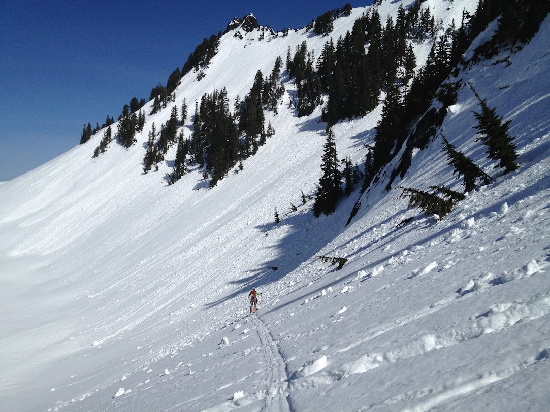
Garrett and I started off up Commonwealth Creek at 5AMish hoping for a fast and light single day push of Mt Thomson's West ridge. We cruised up the basin, staying south/east of the creek the whole way up as we enjoyed a skintrack that was taking us right where we were aiming... the col the PCT passes through right before the catwalk. Time began to slip away as we belayed the sketchy crampon scraping traverse above cliffbands known as the early season catwalk. At least we got to place some gear!
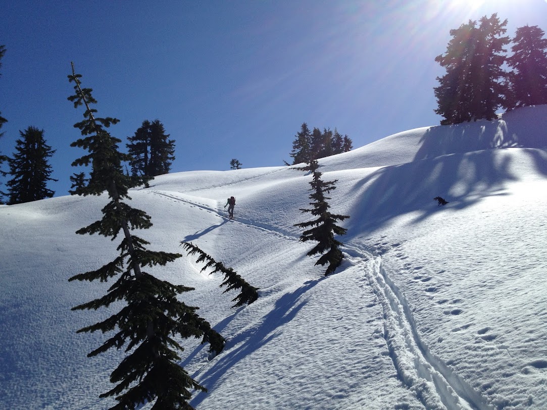
We continued on up past Ridge Lake and made our high point of the day at the col above Gravel Lake. Already 12:30 we didn't want to push our luck getting on route so late. We also didn't want to reverse the catwalk after it had been sunblasted for a few more hours after our first encounter. Without properly considering the Silver Creek > Kendall lakes exit, we pushed on out the Gold Creek - can't be that bad, right? Holy crap... we could have been snowshoers for as slow as we were moving... never again! If necessary I'm going out Middle fork next time - hot springs here we come!!
As was pointed out at the end of the day, headlamp to headlamp days in the mountains are fun, but you usually do some climbing in between - we'll have to add that in next time. We actually enjoyed decent snow in treed east facing slopes from 5400 - 3500.
early light on Red:

Kendall backside from PCT col

A little more committing than we had figured...

So close...

Rainier and snoqualmie gnarliness

Thomson from our highpoint

Our route from PCT col towards Ridge lake visible... from our drop in point to... shudder... Gold Creek

Garrett and I started off up Commonwealth Creek at 5AMish hoping for a fast and light single day push of Mt Thomson's West ridge. We cruised up the basin, staying south/east of the creek the whole way up as we enjoyed a skintrack that was taking us right where we were aiming... the col the PCT passes through right before the catwalk. Time began to slip away as we belayed the sketchy crampon scraping traverse above cliffbands known as the early season catwalk. At least we got to place some gear!
We continued on up past Ridge Lake and made our high point of the day at the col above Gravel Lake. Already 12:30 we didn't want to push our luck getting on route so late. We also didn't want to reverse the catwalk after it had been sunblasted for a few more hours after our first encounter. Without properly considering the Silver Creek > Kendall lakes exit, we pushed on out the Gold Creek - can't be that bad, right? Holy crap... we could have been snowshoers for as slow as we were moving... never again! If necessary I'm going out Middle fork next time - hot springs here we come!!
As was pointed out at the end of the day, headlamp to headlamp days in the mountains are fun, but you usually do some climbing in between - we'll have to add that in next time. We actually enjoyed decent snow in treed east facing slopes from 5400 - 3500.
early light on Red:
Kendall backside from PCT col
A little more committing than we had figured...
So close...
Rainier and snoqualmie gnarliness
Thomson from our highpoint
Our route from PCT col towards Ridge lake visible... from our drop in point to... shudder... Gold Creek
Thanks Erik for putting up with my whining about the slog down (or was it up?) the never-ending Gold Creek drainage. It's nice to know now that if you need a ride back to Summit West after a late exit in the dark from Gold Creek, just walk 1 mile down the highway (which is quite refreshing after the last 4+ miles of skinning through the flat Gold Creek drainage) to the Hyak underpass where the WSDOT sub station is. Those guys work all night, and can give you a ride on their snowplow!
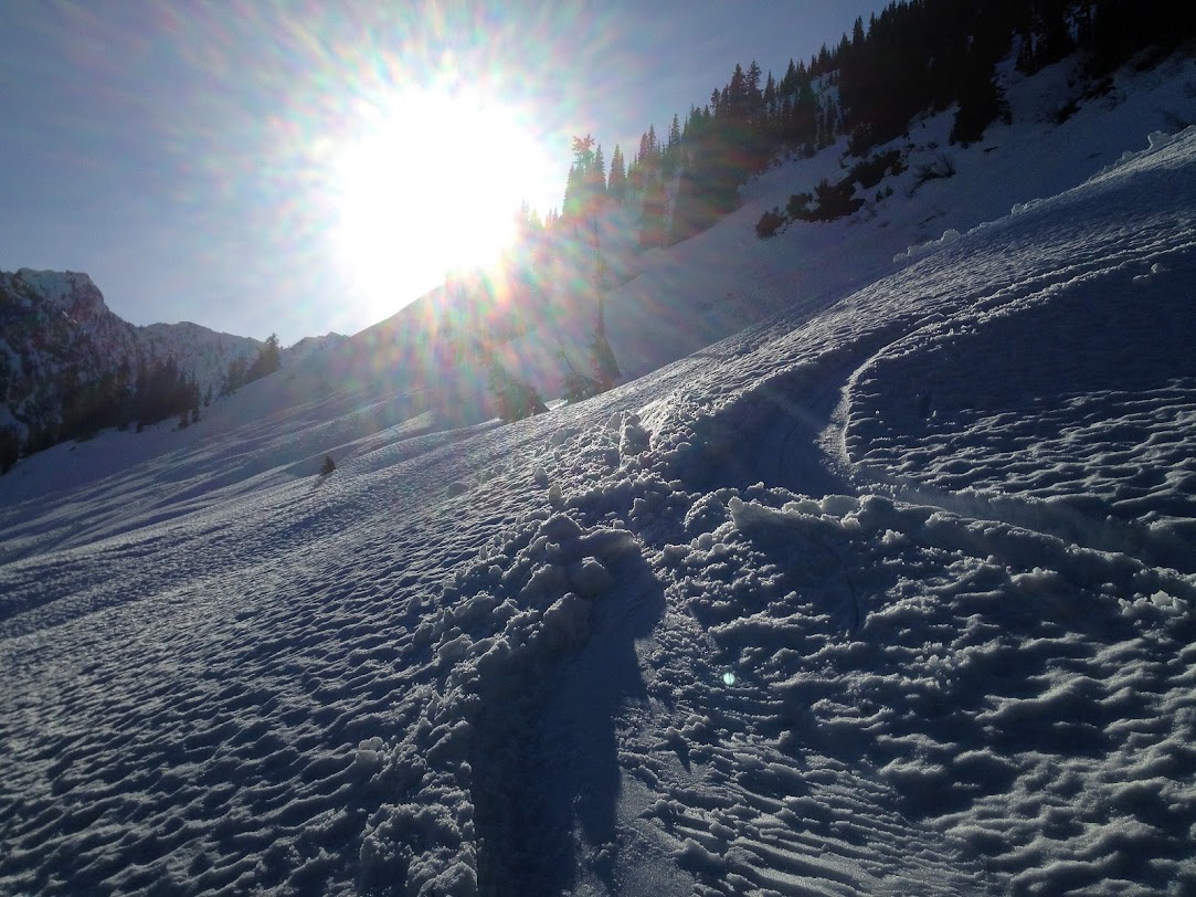
Seriously though, it was a fun trip into a rugged, beautiful area that I had never seen before. The weather was surreal and we did get in several nice "corn snow" turns in addition to the abundant areas of mush and wet slide activity.
Erik, pitching it out across Kendall Katwalk. We were glad we brought boot crampons for this "mixed-climbing" experience

Traversing above the east side of Gravel Lake before ascending up to Bumblebee Basin
What we had hoped to climb, west ridge of Thomson

Soft snow above Gravel Lake

Skinning up from Ridge Lake
Looking east towards Chikamin

A good look at the west face of Alta

Last soft turn in the sun before the slog out
WSDOT to the rescue!

Seriously though, it was a fun trip into a rugged, beautiful area that I had never seen before. The weather was surreal and we did get in several nice "corn snow" turns in addition to the abundant areas of mush and wet slide activity.
Erik, pitching it out across Kendall Katwalk. We were glad we brought boot crampons for this "mixed-climbing" experience
Traversing above the east side of Gravel Lake before ascending up to Bumblebee Basin
What we had hoped to climb, west ridge of Thomson
Soft snow above Gravel Lake
Skinning up from Ridge Lake
Looking east towards Chikamin
A good look at the west face of Alta
Last soft turn in the sun before the slog out
WSDOT to the rescue!
That looks like an excellent adventure.
Good meeting you guys on the Ridge Lake / Gravel Lake divide. We were curious how you fared as we thrashed our own way out of Gold Creek. We called it the "Kendall Circumnav" too ...
Reply to this TR
Please login first: