July 24, 2011, Tatoosh
7/24/11
WA Cascades West Slopes South (Mt Rainier)
3982
7
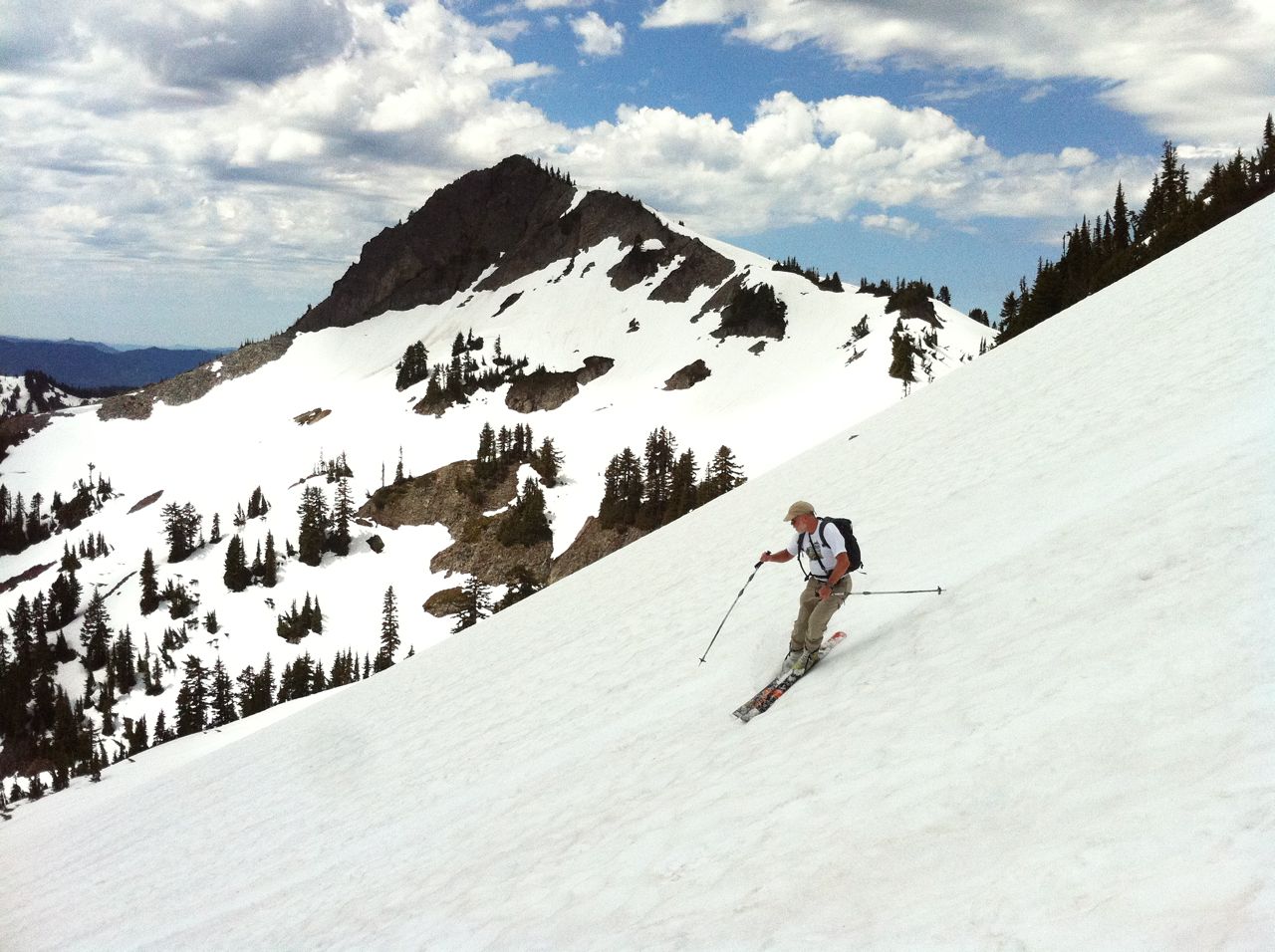
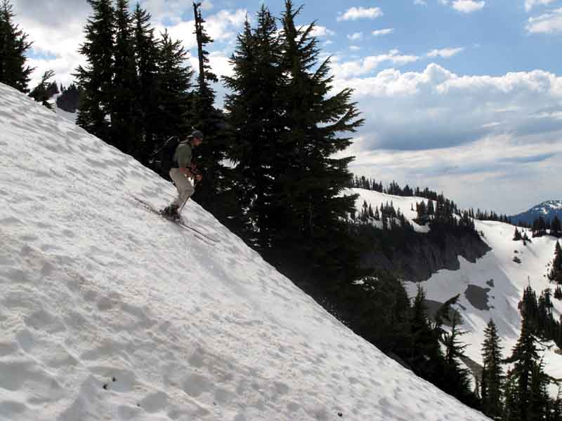
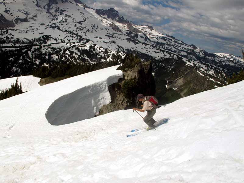
Still skinnable from Reflection Lake parking lot. We found 1-3" slushy cupless snow on south facing steeper slopes. Nice steep buttery slightly cupped skiing on north slopes from 'Foss' peak summit. Thanks Robie and crew for the tracks to guide us out to the road by Sunbeam Creek!
http://vimeo.com/26855143 http://vimeo.com/26855018 http://vimeo.com/26855079
http://vimeo.com/26855143 http://vimeo.com/26855018 http://vimeo.com/26855079
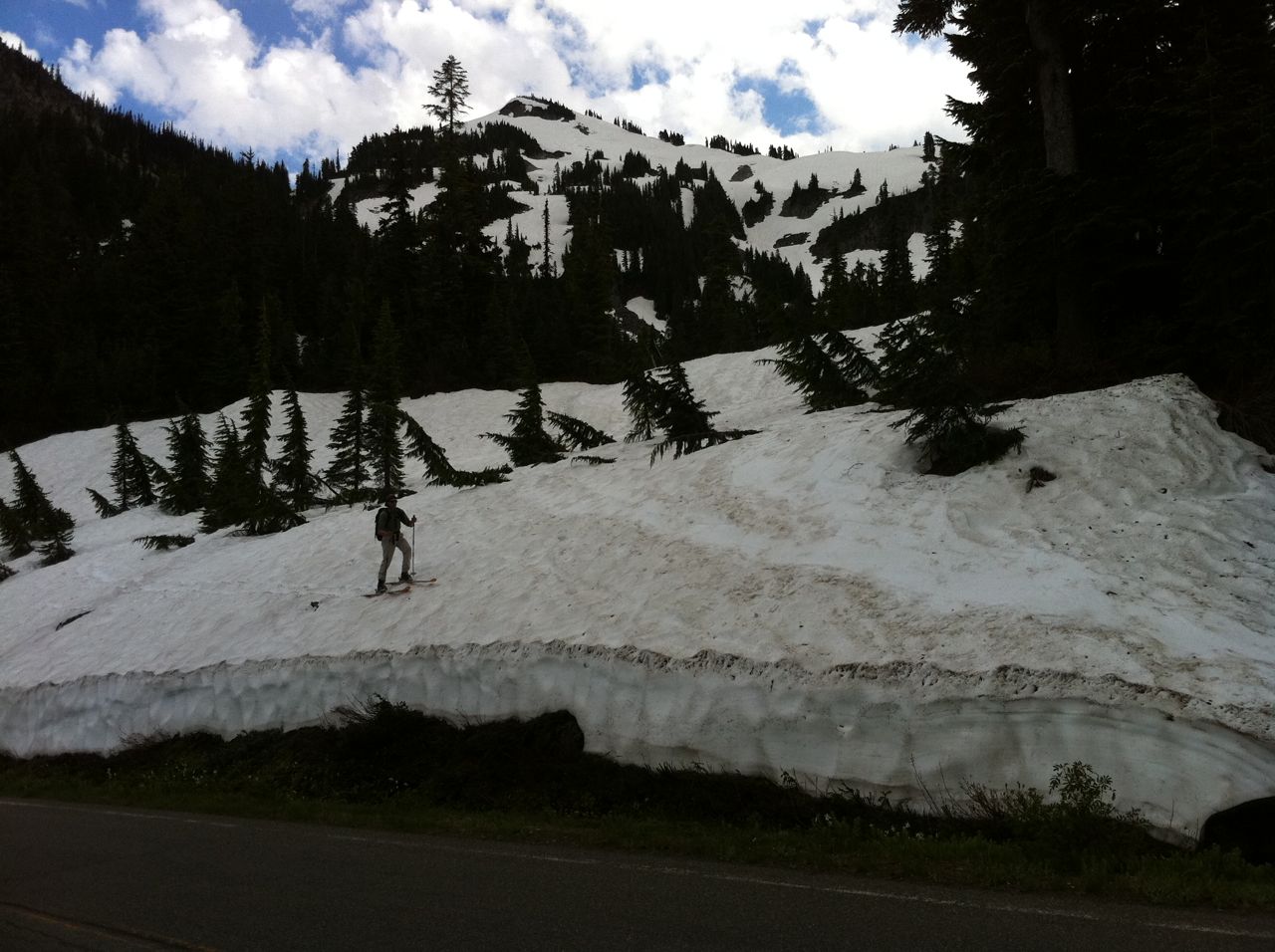
Yep good seeing ya all up there. It got a little bushwacky on lower sunbeam . Hope you stopped and took a good look back up as there are many variations .In the dead of winter I prefer to ski down eastern ridge in the glades. Brenda and Mike Metz liked the western entry . I'll shoot you a map .
Jarvis ,Mad Dog and friend were also in the vicinity.
Does it count as skiing car to car, if the marathon runner in our party chose to run back to reflection lake and bring the car to us at sunbeam creek?
Jarvis ,Mad Dog and friend were also in the vicinity.
Does it count as skiing car to car, if the marathon runner in our party chose to run back to reflection lake and bring the car to us at sunbeam creek?
What time did you start skinning and what time did you start skiing down?
author=Robie link=topic=21531.msg92243#msg92243 date=1311565388]
Does it count as skiing car to car, if the marathon runner in our party chose to run back to reflection lake and bring the car to us at sunbeam creek?
yup
Last July Keith Henson hitchhiked back from Snow Lakes TH to his ride at Reflection Lakes while I took off my boots. SO car-to-car....
Great day in the sun. Thanks for the tip Robie - the Sunbeam exit made the day.
What time did you start skinning and what time did you start skiing down?
I didn't have the time but I think our party's both started up around 10ish and we drinking a cold one around 300. Silas ,Clem and Pico were a little more snow hoggish so they came out later.
Great views from the Tatoosh!
Out of curiosity, where did you guys exit at (if it is not a secret...)? I was up at Foss for the first time on the 26th (via the castle), and found quite the adventure getting out.
I skied down north-northwest and tried to find a safe way though. But I ultimately hiked back up towards Foss and found a strip to exit out of almost due north from point 6058' (by the lake E of Foss) at about 5200' in between horizontal rock bands. Lots of fun in that area!
I skied down north-northwest and tried to find a safe way though. But I ultimately hiked back up towards Foss and found a strip to exit out of almost due north from point 6058' (by the lake E of Foss) at about 5200' in between horizontal rock bands. Lots of fun in that area!
Snitter, you might have had a better line then us. Normally what goes is a subridge to the east of the drainage. also the safest route in winter. I'm feeling like sharing because others shared to me and next winter I'll be getting after it midweek.
Reply to this TR
Please login first: