April 9, 2011, North Gardner
4/9/11
6024
10
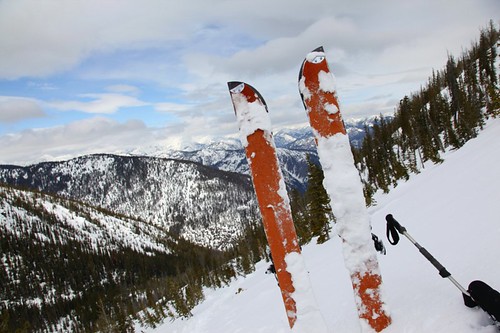
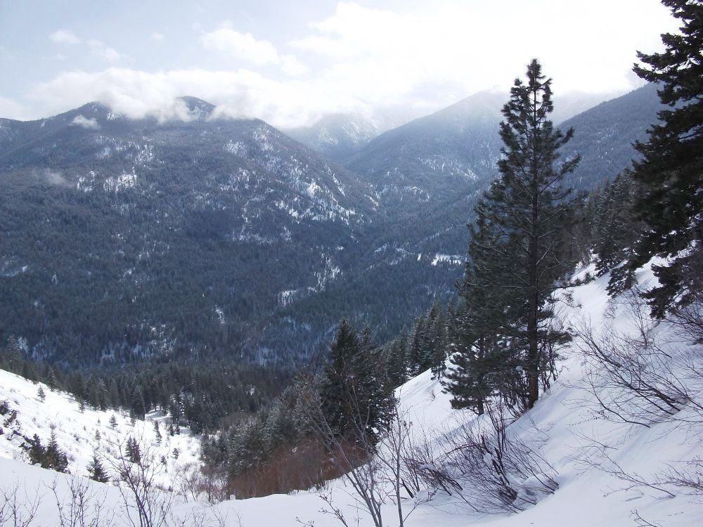
I was out in mazama with my family for the weekend and needed something to do saturday. I had been to south gardner six years ago via abernathy. This time I went in from the north side up cedar creek to check out the approach to north gardner. It seemed like a good way to go on maps and I sure knew I wasn't going to get in there via wolf creek. I walked the first mile of highway twenty from the cabin till I hit snow at the roads end right past early winters creek. I skinned up the road and up cedar creek to huckleberry creek via some ridge to its west. A minor mistake but it ended up working. I hadn't planned on going up this far but the new snow was well bonded and I had the time. There was about a foot of wet snow in the basin making skinning horrible. I found some wind packed powder up higher. I ended up getting to the top mid afternoon in a sea of clouds. The first 1/3 of the run was good and the rest was survival riding on slop. Overall this is a really nice area and provides some solitude. I'd say there is only a little more time left before the snow on the approach melts out and reveals some brush. I didn't take any worthwhile photos because of the flat light and clouds.
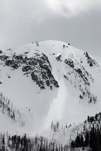
Did you get all the way to N. Gardener via Huckleberry ridge and peak 7850 ? I believe your #3 photo is 7850 and Gardner would be behind that. That's a long tour . Good work !
cool. I've been wanting to get into that area for a while. That's quite the day trip. Sounds like cedar creek is the way to go!
nice one Jeff
Wow, strong work. That's a hell of a daytrip.
Is cedar creek steep enough that you can glide out without too much poling or sidestepping?
Is cedar creek steep enough that you can glide out without too much poling or sidestepping?
There is some great info further down this thread on the huckleberry creek approach.
http://www.turns-all-year.com/skiing_snowboarding/trip_reports/index.php?topic=19823.0
http://www.turns-all-year.com/skiing_snowboarding/trip_reports/index.php?topic=19823.0
Thanks for linking that Jake. I almost went up shelokum..looks like a beautiful way to go. I hadn't done my homework with this one. I just went off my memory and a quick look at google earth before I walked out the door. I did go over huckleberry ridge. I was tempted to drop off that sub-peak. The exit out cedar was with skins on...mostly a sidehill with only a couple blowdowns.
Nice work one of the areas I've wanted to go to for a while.
Nice trip Bud!
author=Salal link=topic=20509.msg87311#msg87311 date=1302628680]
I skinned up the road and up cedar creek to huckleberry creek via some ridge to its west.
Did you go up Huckleberry Creek from the confluence with Cedar Creek?
I took the shot below from Doe Canyon looking up Huckleberry Creek (photo center). Sandy Butte on the left, North Gardner in clouds behind and Cedar Creek road is the little horizontal gash to the left of the pine tree in foreground.
The lower reach of Huckleberry Creek looks like an uninviting canyon. I'm thinking you must have bypassed the canyon on the right. This must be the "ridge to its west" that you mention. Just curious as to how easy was that stretch around the canyon?
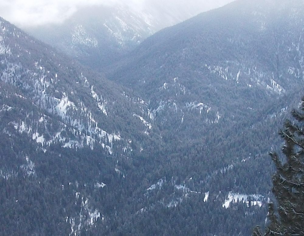
Yes you are correct stoked. Crossed over above the confluence. Its fairly obvious where to cross as the creek comes closer to the trail in that area. I went over that ridge lookers right in your pic. Midway up that ridge is pretty steep and poor for travel and tends to slide as well given the amount of debris I saw fyi. I'd stay away from the creek proper down lower there.
Reply to this TR
Please login first: