June 19, 2010, Tricouni W1, Squamish-Cheakamus
6/19/10
2055
2
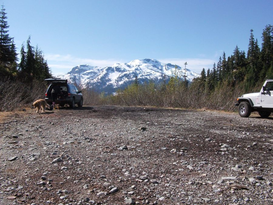
We were going to Tricouni but it looked like it was going to be a little crowded on the summit. We went instead to Tricouni W1, which is one of my favorite easy ski trips and only 100 feet lower than the main peak. Skied right off the summit.
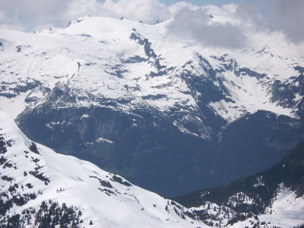
The upper landing at 3800 feet. Cloudburst Mountain in the distance.

This avalanche path runs every year. It bridges the creek and crosses to the trail on the other side.
The same avalanche from below.
The valley we came up.
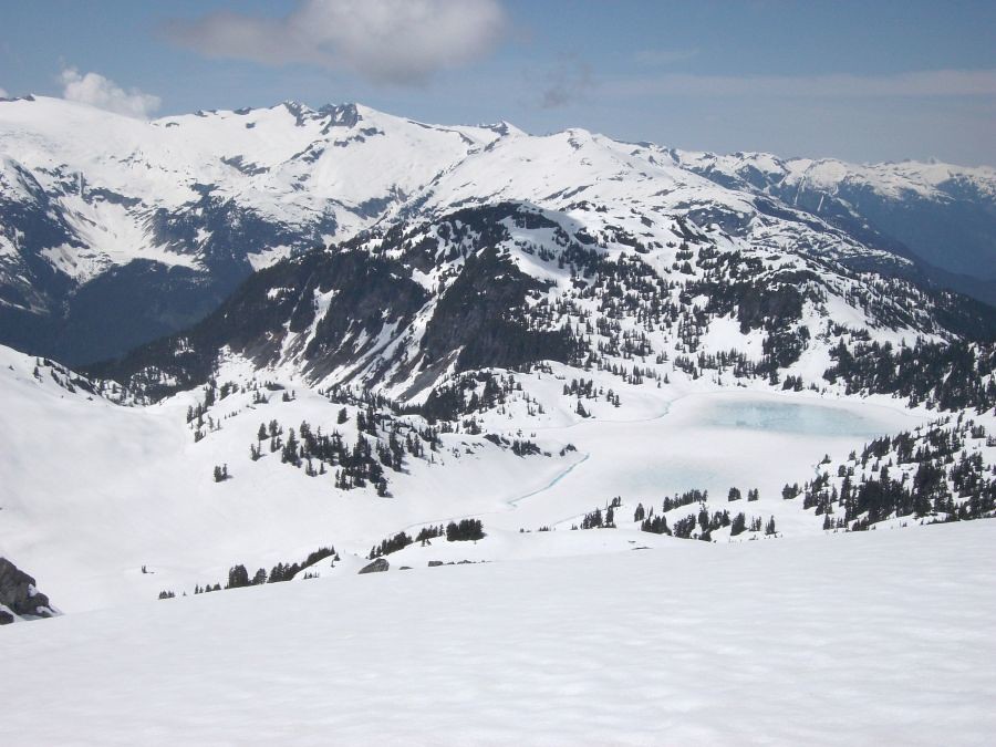
Gaining the lakes basin.
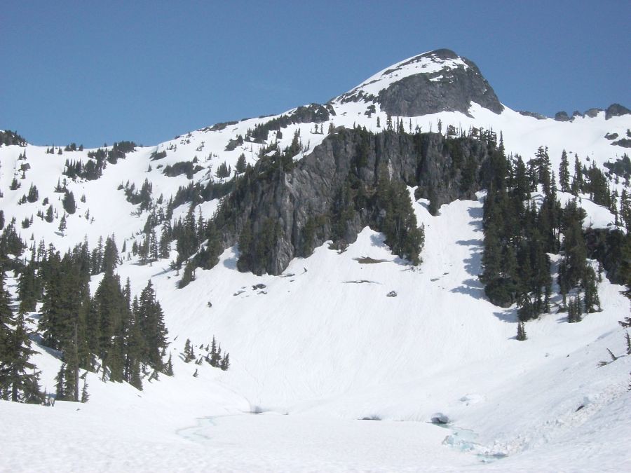
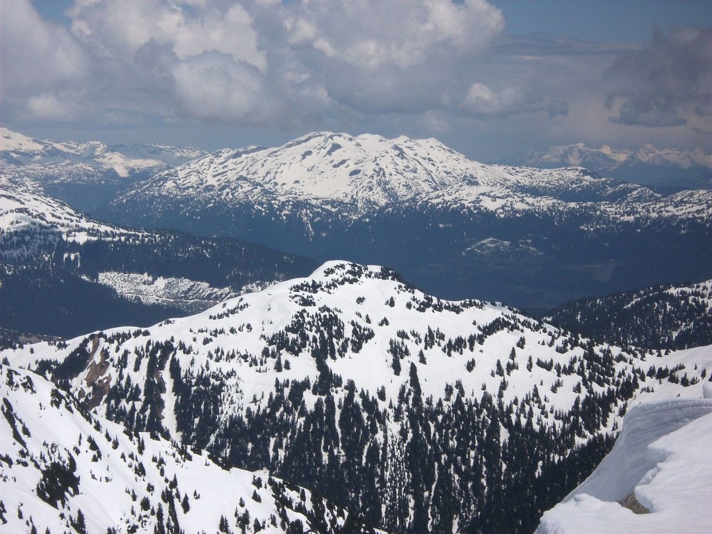
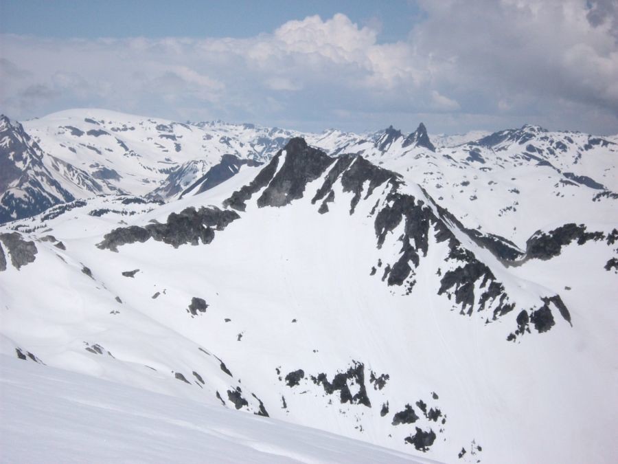
The destination: Tricouni W1 (i.e. one kilometer west of the main summit of Tricouni Mountain).
"Mudhole Mountain", which we skied past on the way in. (Named for the inglorious mudhole on the approach trail.)
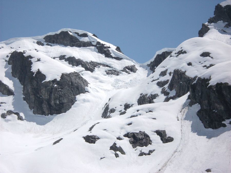
Cornice failure detail.
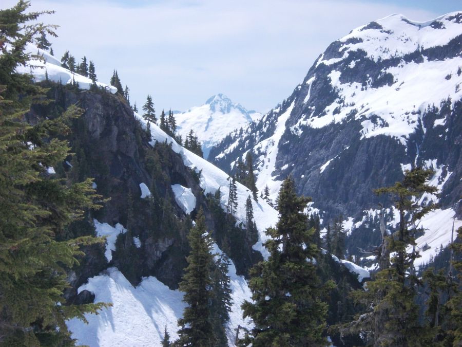
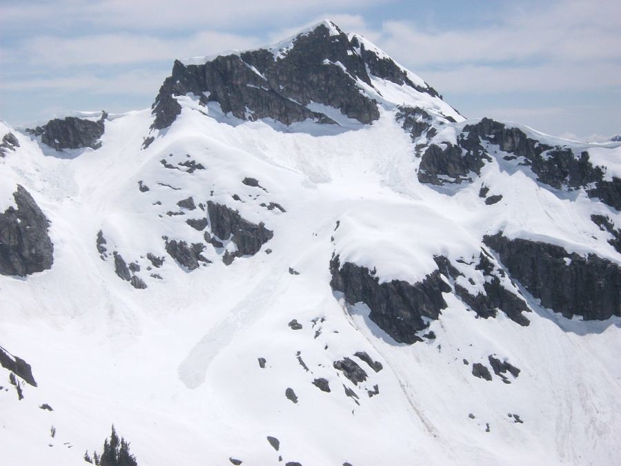
Some climbers are approaching the main summit of Tricouni opposite (one is outlined against the skyline on the ridgecrest). Garibaldi Lake in the background.
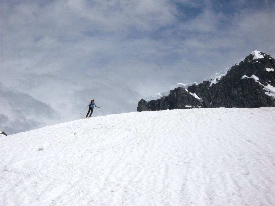
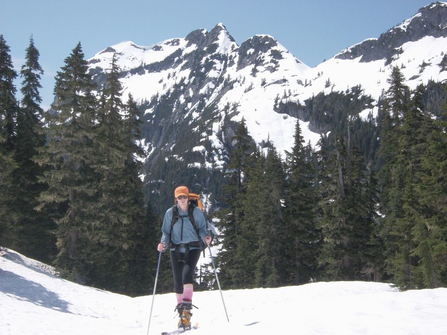
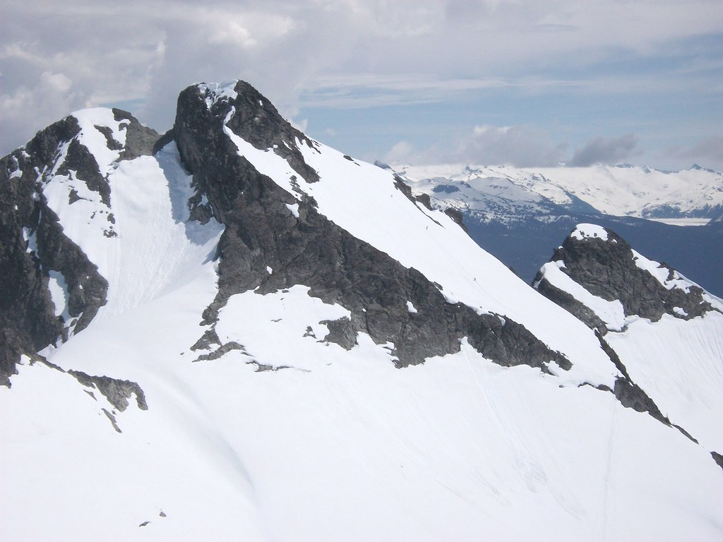
Descending off Tricouni W1. The snow was good until around 6000 feet and then it started to get grabby and slow with lots of suncups.
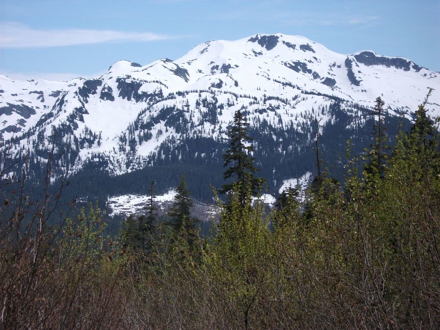
The north side of Cloudburst is still in good shape for skiing. The highest clearcut is still holding a bit of snow at the top.
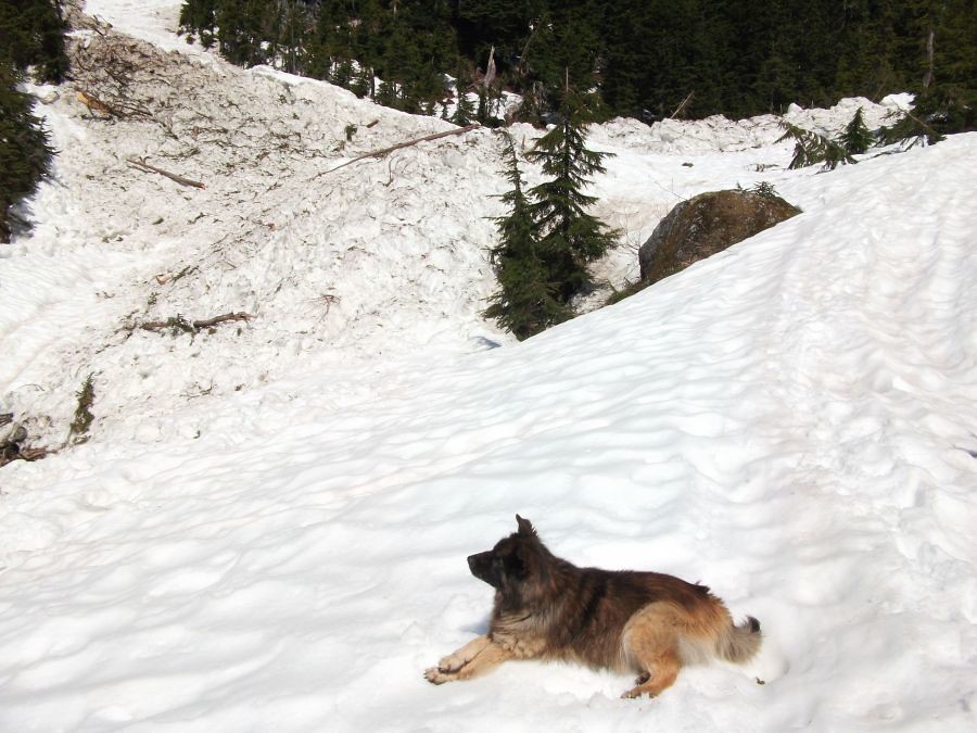
Some miscellaneous shots of the area:
Seagram Lake (foreground). Enterprise Ridge of the Ashlu-Elaho Divide behind the lake and across Squamish River.
Rainbow Mountain, near Whistler, BC.
Cypress Peak and Mount Fee (behind and right).
Spam Lake (center, far right) on the east side of the A-E Divide.
The upper landing at 3800 feet. Cloudburst Mountain in the distance.
This avalanche path runs every year. It bridges the creek and crosses to the trail on the other side.
The same avalanche from below.
The valley we came up.
Gaining the lakes basin.
The destination: Tricouni W1 (i.e. one kilometer west of the main summit of Tricouni Mountain).
"Mudhole Mountain", which we skied past on the way in. (Named for the inglorious mudhole on the approach trail.)
Cornice failure detail.
Some climbers are approaching the main summit of Tricouni opposite (one is outlined against the skyline on the ridgecrest). Garibaldi Lake in the background.
Descending off Tricouni W1. The snow was good until around 6000 feet and then it started to get grabby and slow with lots of suncups.
The north side of Cloudburst is still in good shape for skiing. The highest clearcut is still holding a bit of snow at the top.
Some miscellaneous shots of the area:
Seagram Lake (foreground). Enterprise Ridge of the Ashlu-Elaho Divide behind the lake and across Squamish River.
Rainbow Mountain, near Whistler, BC.
Cypress Peak and Mount Fee (behind and right).
Spam Lake (center, far right) on the east side of the A-E Divide.
Thanks for the TR and photos of the tour plus the great views of the surrounding area. It's an area many of us have never toured. What was the start elevation ? It appears that you were able to skin from the car.
author=Zap link=topic=16967.msg71491#msg71491 date=1277079727]
It's an area many of us have never toured. What was the start elevation ? It appears that you were able to skin from the car.
Hey Zap, the upper landing is 3700 feet. We had to carry the skis for about ten minutes through the clearcut and the last band of trees but there's a beaten path. Not a real trail. Lots of mud in summer until you get to the headwall below the lakes. There's about five lakes up there. There's about two feet of snow left where we skinned up.
Let me know if you need road info.
Reply to this TR
Please login first: